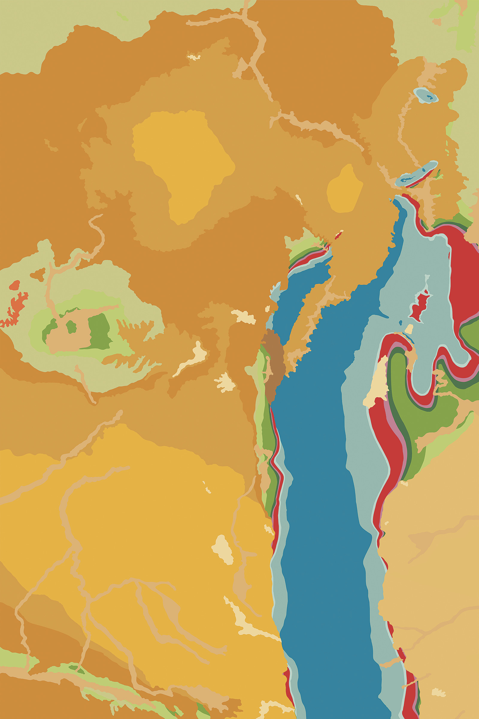
Green River Basin Map II,
2018
Ink on canvas
90" x 60" (228.6cm x 152.4cm)
In the Geologic Abstractions series I downloaded images from the Internet of vintage hand-watercolored geologic maps from the 19th and early 20th centuries. Using the colors from the maps themselves and deleting all other information in the maps these painting-like abstractions were revealed. The titles are taken directly from the maps and offer the only hint at the actual location in the maps. These found two-dimensional representations of three-dimensional space are rectified readymades and are snapshots of geologic time.
Click on image to zoom